Google maps offer a feature called Streetview which enables people to walk through a place on their screen. It’s useful for getting a sense of a place or figuring out exactly where a particular feature is situated. If you use Google Maps you just move the little Streetview lady, called Peggy, over the map and if there is streetview footage of the area the route will turn blue and you can drop Peggy on to the area you want to explore.
Dumfries has quite a few gaps in our Streetview coverage. The gaps include the High Street, top of the Vennel and Bank Street, most parks and all the paths like Mill Green, Whitesands, the Maxwelltown and Caledonian paths, and Maidenbower.
Streetview is great for exploring new places. It’s great for visitors, new residents or even people just chekcing out a new route to the shops. So we decided that DPAG could take on the work of filling in these gaps. And now the first piece of the missing segments of Streetview is now live.
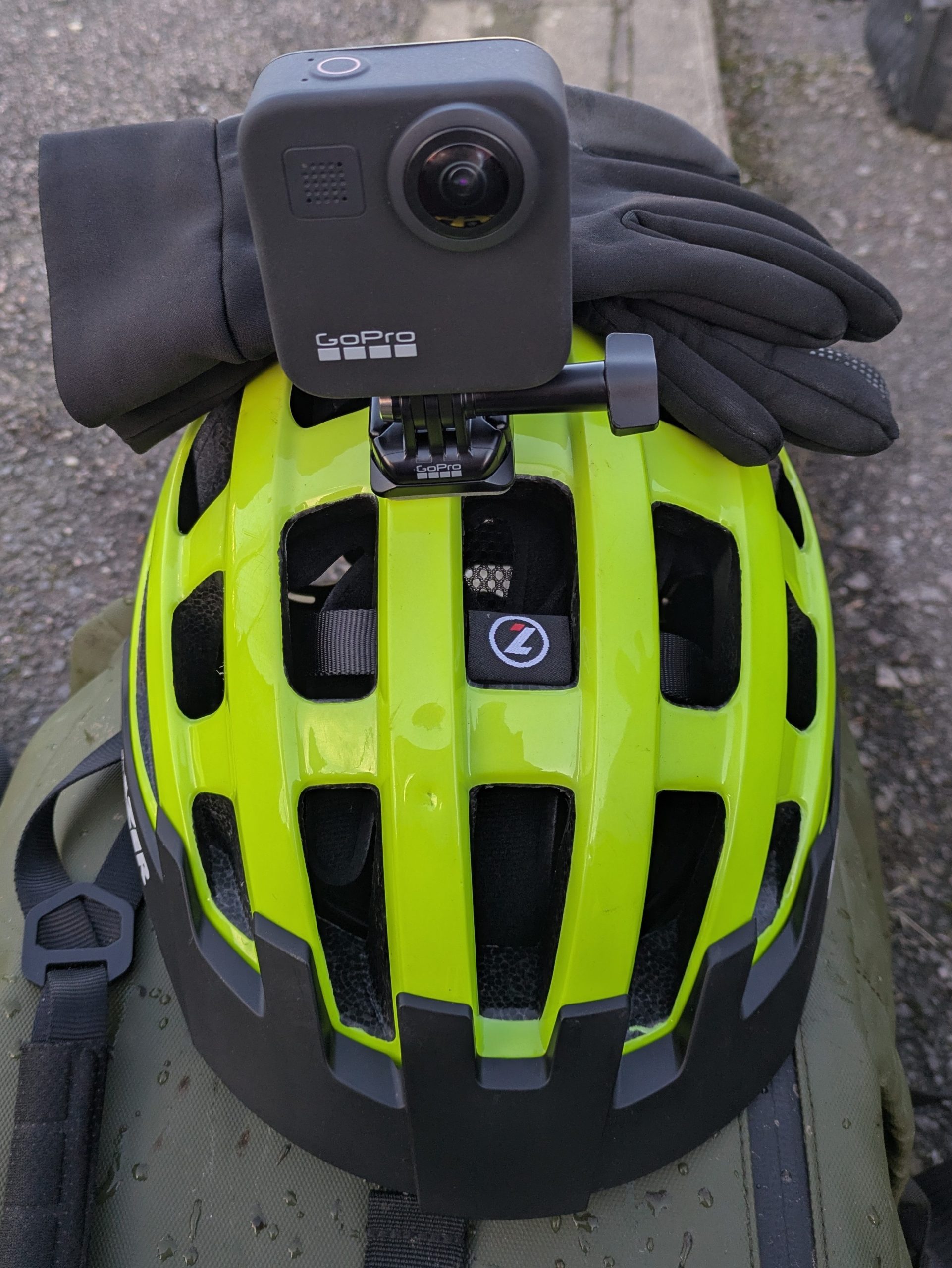
We bought the camera needed to do Streetview mapping back in November, but there was a really long period of still overcast weather followed by storms so the work has only just begun. We had some beautiful days in the 2nd week of December so I took advantage of that and got out on my bike with the helmet mounted camera and started recording along routes with missing Streetview data.

The whole process takes a bit of time. The recording is the quickest and easiest part as Dumfries is small and most places can be reached by bike in 15 minutes so we’re able to cover gaps from D&G College to Lochside or DGRI to Quarry Rd in Locharbriggs in a short amount of time. The majority of time is taken up getting footage off the camera, getting GPS data from the files and then uploading gigabytes and gigabytes of data to Google. After that it takes about 3 days for the files to be processed and approved.
Most of the recording has been down so now we’re into the processing stage. If I do a couple of uploads a day everything should be online by Christmas Eve.
